Time to go Underground …

You could have sworn we were in Darwin today and not south-eastern Victoria with the temperatures in the mid to high 30’s and humidity around 60%. It didn’t take much walking to work up a sweat. Lucky Jenny is not here as she would be one unhappy camper.

So what to do in these conditions, go underground of course. I headed to Buchan Caves which is between Bairnsdale and Orbost. Even though the humidity was similar the temperature was 17C for the couple of hours I was underground in the Royal Cave and Fairy Cave. But did it hit you when you got out.

As far as caves go, these were impressive for their features with good stalagmites, stalactites, flowstones, shawls and columns. They even had some helictites that defied reason in their direction of travel.

One thing that did make it unique for tourist caves was the amount of squeezing and stooping through manmade tunnels and tunnels made of chicken wire. This allowed you to be up close and personal with the features without being able to touch them. I would recommend doing these caves provided you are not claustrophobic.

Rather than drag the van around for a couple of days, camp is now set up at the Orbost Caravan Park on the banks of the Snowy River. The weather hadn’t abated with mid 30’s still at 6:00pm but a change was to come around 9:00pm.

On the radar you could see it sweep across Victoria dropping heavy rain and large hail stones. The winds hit here first bringing with it dust. Eventually there was rain but the heavy stuff seems to have missed us for now.

Update on the geocaching: I managed another 3 maps for the Victoria Country Road Atlas Challenge and another 1 shire for the Victorian LGA Polygon Challenge. Only 3 more maps left and still plenty of shires.

Tomorrow I will be heading to the far eastern Victorian border (well as close as I can get).

What about the humidity …

The first thing that hit you today was the humidity. It would be because of the coastal influence and with a bit of warmth and temperatures of 28C today, it didn’t take long to work up a sweat on my little walks.

Today’s travels took me through Koonwarra and Foster which were undulating, and at times steep hills, eventually giving way to coastal flats through Toora, Welshpool, Alberton, Yarram and finally to Sale.

I stopped off at a free camp by the Franklin River but even though my hearing is not the best at times, the noise coming from the cicadas was deafening. Not sure how anyone can get any sleep here. No a problem for me as I am camped at Stratford on the Avon River Tourist Park. It is all quiet here.

There was a large amount of roadworks along the way but the traffic management was not always well executed with lines up to 2 kilometres at the Stratford Bridge.

After setting up around 400pm, I spent the rest of the afternoon grabbing the caches around Stratford. I managed another 2 maps for the Victoria Country Road Atlas Challenge and another 2 shires for the Victorian LGA Polygon Challenge.

Tomorrow it is onto Orbost.

Time for a cruise …

Well the “grey nomad” trend didn’t last long. After waking up at 700am, I promptly looked at my watch and went back to sleep. Needless to say, the Taj was finally on the road just after 1000am.

I farewelled the volcano’s and headed down to Geelong via a roundabout route to take in another couple of council areas for the Victorian LGA Polygon Challenge.

At one of the stops, I noticed the left indicator wasn’t working on the Taj even though my indicators were on. Previously it was just a loose connection but when I went to push the plug in, I almost burnt my hand. A couple of the lugs had melted through the plug. There must have been some serious load on it.

The first order of business in Geelong was to find a new plug. No luck in Bunnings so across the road to Super Cheap Auto which had plenty of 7-pin flat plugs but no 12-pin flat plugs. Third time lucky at Repco but a whopping price of $49. Oh well, I need it.

There was now a choice to make. Choice number one was a 230 km drive through Melbourne traffic on a Sunday afternoon or choice number 2 was take the Queenscliff-Sorrento ferry which was 180 km drive with a sit back on a ferry for 45 minutes. The only choice was the second option. Best $137 I have spent.

The ferry is a roll on – roll off. At Queenscliff, I drove in through the bow and at Sorrento, I drove off through the bow. The trip was smooth with a little wind but it was relaxing up on the top deck taking in the sun. You couldn’t even see Melbourne in the distance.

There was a bit of traffic on the M1 but I was only on it for 25 kms before heading east and south to Inverloch. Even had the opportunity to “blow in the bag” at Tooradin at a police random breath test station but of course came up “zero”.

Made a couple more stops for geocaches, one at the Lang Lang Holden Proving Ground. I wonder how much use that will get now that Holden have ceased manufacturing in Australia.

Digs for the night is the BIG4 Inverloch Holiday Park. A nice park and it is very busy with a lot of kids running around but they have put me in a quiet corner.

Tomorrow I will continue east along the coast.

Volcanos as far as the eyes can see …

The inner “grey nomad” must be coming through as I had the van packed up and was on the road by 830am. 🙂

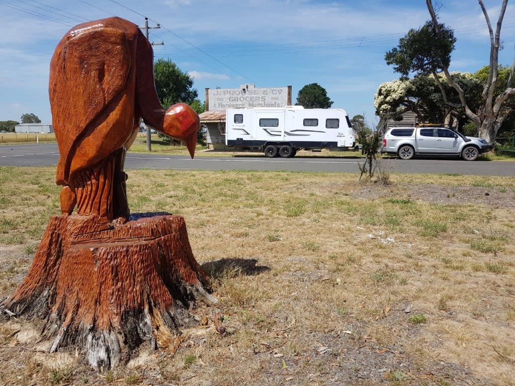
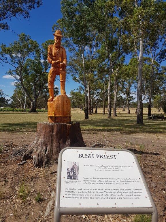
First stop today was Dartmoor in Victoria. This must be the home of tree carvings with an “Avenue of Honour” with chainsaw carvings depicting service men and women. Down the street at the playground there are Australian animals and Nursery Rhymes. A lot of work has gone into them and worth a visit. Down by the river is the Fort O’Hare free camp and there was one group that had “circled the wagons” with a campfire in the middle. Very apt.

It was then down to Warrnambool for a quick visit as I need to find a geocache as part of the Victorian LGA Polygon Challenge. Also made a stop at Bunnings to pick up a short extension cord. It was needed to go from the new inverter to the microwave to warm up my lunch when there is no power available.

Heading northeast now and all around dormant / extinct volcanos were starting to pop up. This area must have been amazing to see back in the day. The last one active was around 8000 years ago which not so long ago in geological terms. I wonder how dormant / extinct they really are.

The caravan park tonight is again on the rim of a volcano. I am starting to see a pattern here. I am staying at the Lakes & Craters Holiday Park which straddles Lake Gnotuk and Lake Bullen Merri which are both volcano craters full of water.

After setting up the van, I spent the afternoon touring the area, grabbing some geocaches as well as climbing some volcanoes.

Headed to Melbourne tomorrow.

Can’t get much more South than here …

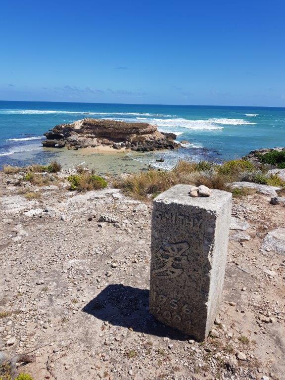
A relaxing morning before heading south to Port MacDonnell and South Australia’s most southern point. Along the way, I made a stop at Mount Schank, another extinct volcano in the South East area. There are 3 geocaches here but I only grabbed one this time through.

It was fairly quiet at Port MacDonnell with a few boats coming in and out of the harbour area. I guess it gets a bit busier on the weekends.

Most of the afternoon was spent checking out the points of interest along the coast. This coast was fairly treacherous in the 1800’s with at least 30 ship wrecks. It is on its second lighthouse at Cape Northumberland.

There was even a fairy penguin colony with no penguins. They had some issues with dogs and foxes decimating the population and there haven’t been any penguins there for a few years.

Adam Lindsay Gordon was a famous Australian poet and horseman who called Port MacDonnell home. His home is now a museum.

I tried to get to the lighthouse and the road on the map ended up being someone’s driveway so you could only get about 200 metres from it.

Heading home, I checked out Hells Hole, a sinkhole in the middle of the pine forest but at the moment with all the pines having been harvested, it stands out on its own. The walk into the hole is through some thick scrub to a metal platform. At the end of the platform it is at least a 30 metre drop down into the sinkhole which is full of water. This is a popular dive cave and to get in you need to abseil in and out with your gear. No diving for me today.

Tomorrow it is time to head east and into Victoria.

On the Road again …

With my rostered recreation leave upon me again, I was not going to hang around home for five weeks so time to hook up the caravan and get some more travelling done. Yes I know, you are all saying do you ever work. Occasionally is the answer, LOL.

Back a few weeks ago in Alexandra, I signed a log for a geocache called the Victorian Country Atlas Challenge, which involved finding a cache on every one of the 38 pages. I checked and have found 27 pages so why not spend the next 10 days marking off the remaining 11 pages. Sounds like a plan.

Before I could hit the road, there was a workshop on Bushfires I needed to attend which was yesterday and by coincidence it involved an exercise in the South East around Nangwarry. Today I managed to get to Nangwarry on my way to Mount Gambier.

Finally getting mobile at 1130am, a little later than I expected but amazingly the same time that the exercise yesterday had us responding to the South East. At least I will be able to check timings that we worked with during the exercise and see if they would be realistic should we ever have to respond to the South East.

It was a good day for travelling, mostly overcast and cool with the occasional shower. A bit different from yesterday where it was 38C with hot northerly winds. Stops along the way were for a few geocaches and fuel with the police shutting down the road for drug, alcohol and vehicle checks just outside of Keith. I got through OK. The CB had plenty of chatter about it.

A quick stop in Nangwarry with a photo at the museum, which I sent back to a couple doing the workshop today confirming our timings were not that far out and then it was onto Mount Gambier.

After setting up camp at the Big4 on the rim of the Blue Lake volcano crater, I headed into town to grab a few caches before calling it a day.

Tomorrow will be an easy day with the plan to grab the southernmost geocache in South Australia.

Where did they go …

There are a couple of boys that have grown up in the 4WD Club, Jerren and Jerrick, who are now young men. They have moved to Melbourne for work and came up this weekend to meet up and offer to show us around the Grampians. We have affectionally called it “J&J 4WD Tours”. It was a leisurely start allowing for the kids in the group to meet the animals that the Halls Gap Zoo had brought to the campground.
Our first stop was the Balconies or what it used to be called, “Jaws of Death”. This outcrop is at the end of a 1km walk and is a couple of ledges hanging out into the valley which resemble the jaws of a large lizard. Very spectacular. They are now fenced off but it didn’t stop the adventurous to go out for a photo opportunity.
The next stop was to be the Boreang Picnic Area for lunch, which was a turn left and follow your nose. Just before the turnoff, there was a geocache to be found so I stopped off telling the others I would catch them up over the radio.
After beating my way through the scrub, the cache was only 20 metres off the road, searching for what must have been 10 minutes, I gave up with a Did Not Find (DNF) and proceeded to take the turnoff.
About a kilometre down the road, the road was closed but the track continued to the left and I could still hear the group on the UHF. Another 4 km down the track and a cross roads. Which way did they go. I could still hear them on the UHF so I tried to call them but no response. Oh well, I will just try each direction until they are found.
More closed tracks were found and eventually I was down at Lake Bellfield and at the Boreang Huts Picnic Ground. This was not the right one.
The tour plan had been to go to the McKenzie Falls after lunch so after grabbing some geocaches at the dam wall of Lake Bellfield, I headed to the Falls. Hopefully they were there.
Arriving at the Falls, I met up with another of the crew that had got separated and eventually got a text that they were ½ an hour away. Knowing that most would not make the trek down to the Falls I headed down. Luckily it wasn’t a hot day as you would need a lot of water if it was. There are a lot of steps down to the bottom and it was like Rundle Street with a constant stream of visitors today.
At the base it was almost standing room only but after making a climb to a geocache, photos could be taken that made it look like I was the only one there. After a rest it was time to tackle the climb back up and as I reached the top, I was met by the group. I was correct, they were not going to make the trek down and we checked a couple of the other lookouts on the rim of the valley, comparing stories of our day.
With the group now back together, there was one more stop before getting back to camp at the Boroka Lookout. You could have thought that you were just driving through a forest on the way but when you arrived, it was obvious that there was some elevation to this spot with spectacular views over Halls Gap and the Wimmera region.
Back to camp and despite being very cold, we braved the elements to talk war stories of the day until late.

Grampians here we come …

The one night I needed a decent rest was last night but it was not to happen. I had picked up an overtime shift which is good but you never know what a night shift will bring. Unfortunately last night was a busy one with a large fire in the middle of the night. There was little rest overnight.
The 4WD Group were meeting at Tailem Bend at 800am for a 815am start and it was at least a 1½ hour drive for me by the back way from Seaford Fire Station. Even though my relief was getting in early, I wasn’t on the road until 700am. Conditions were good and I was making good time being 20 kilometres out at 815am, so the Group waited an extra 15 minutes which was good of them.
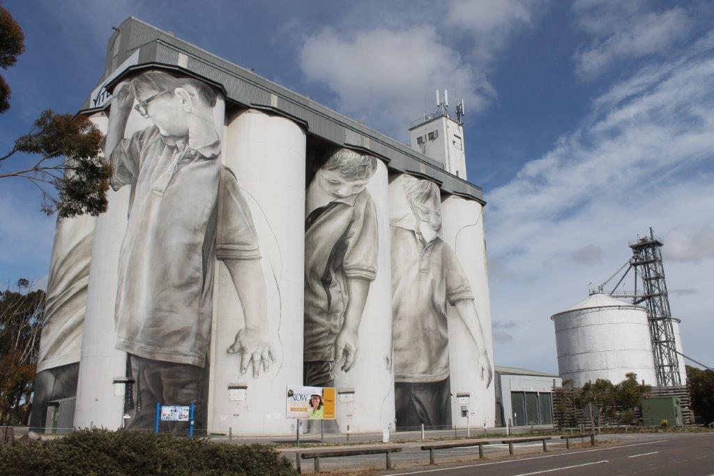
It was a good drive with a stop at Coonalpyn to check out the painted silos then a stop at Bordertown for the Sunshine Bakery. It was after Bordertown that things slowed down. There were a number of roadworks between here and Nhill where they didn’t quite get the traffic control right. Queues of traffic went for kilometres and waits up to 20 minutes to get through was the norm.
Once past Nhill, we were travelling well again. Heading through Horsham, I stopped into Jayco Horsham hoping to get the slide out looked at and maybe fixed but no, most of the staff were off for a long weekend and the only person there was only keeping the lights on as she was having Tuesday off for the Melbourne Cup.
We finally made it to Parkgate Resort at Halls Gap to find a packed caravan park with our group spread out all over the park. We didn’t do our homework there. Apparently, this is a 4 day weekend for Victorians and most book their sites years in advance. At least it will clear out next week.

Fields of Thunder …

Well Maralinga lived up to its name overnight of “Fields of Thunder”. That second wave of thunderstorms certainly hit us with a vengeance with lightning striking around the Village during the night and 4mm of rain falling (heavy at times).

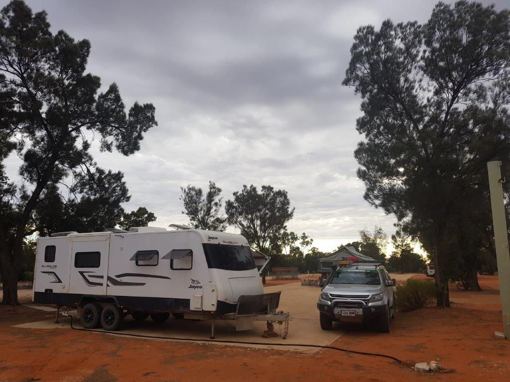
The lightning didn’t bother me too much in the Taj and I laid back and watched the show. For those in swags that moved into the shed, it ended up being a wise decision and would have been somewhat exciting for those still out in it.

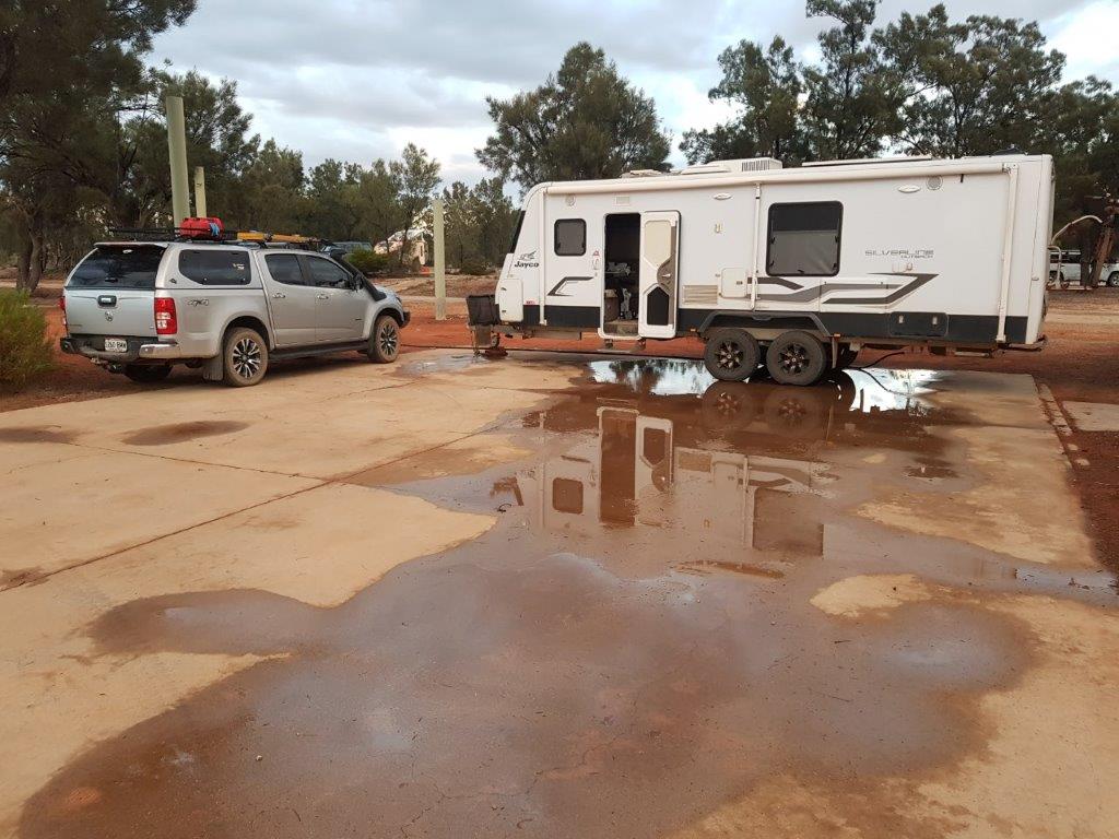
The amount of rain wasn’t a lot in terms of in the city but 4mm on the dirt roads around here particularly after they had only just been graded should make it interesting getting out today. There were a few puddles around the campsite and those with canvas were packing up wet. Glad I was in the Taj and packed up the awning last night.

After a cooked breakfast with the group, it was time to leave Maralinga and with Robin the guide waiting for us at the gate, a convoy moved out and started heading south on the bitumen.

The first section of dirt north of the railway line was re-markedly dry but it changed south of the railway on the freshly graded road. There was large puddles across the road and the red earth had been turned into slippery mud. It was slow going in this direction but at least there was no dust.

After making it to the Iluka Mine Road (bitumen), a quick visual around the Taj looked like I had picked up a bit of extra baggage in the way of red mud. I am sure it will drop off ?

The group had spread out a bit with some heading west to the Western Australian Border, some south to Fowlers Bay and myself heading east. I had a couple of days to get back to Home due to picking up an overtime shift on Saturday night. It should be doable even if it was slow going out from Maralinga to the Eyre Highway (close to 3.5 hours). At least it is all bitumen to home from here – well maybe ?

Apart from a stop at Penong to grab a new Geocache that had been published while at Maralinga, it was a matter of keep driving til I had enough. That enough today was at Wudinna (580 kms in total). With only a few caravans in the Gawler Ranges Motel & Caravan Park, I was given a couple of sites which made it a drive through for only $20.

Glowing in the Dark …

It was a different day today for a couple of reasons. The sky was overcast, the winds had abated and the temperature had dropped 10 degrees from yesterday was the first. The second was we were headed out to stand on the Ground Zero’s of a number of atomic tests from the 1950’s and guaranteed that we would not glow in the dark at the end of the day.

Maralinga was the site of over 700 tests in the 1950’s and 1960’s by the British Government on Australian soil. Seven of these tests were big and even though they left physical damage, the radiation was only minor in comparison. It was the other 700+ tests where they made dirty bombs and blew up anything else they could think of that caused the environmental damage.

A number of cleanups over the years and a lot of money has now rendered the area “safe” which now allows tours to be made of the various sites. The tour guide, Robin, had a radiation meter which we hoped was calibrated right and the area is surveyed each year by ARPANSA to ensure that nothing is leaking from the burial sites.

First stop on the tour is the water retention dam. This dam is fed from the parking area at the airport with the water flowing through a number of drains and aqueducts. The water is then treated before it is deemed safe and drinkable. I still used my own water though.

Onto the Airport with the largest runway in the Southern Hemisphere which is still able to be used as an emergency runway for commercial jets and was an alternative landing site for the space shuttle. Interestingly the water runoff from the runway was never added to the water retention system due to the chance of radioactive material off planes that flew through the bomb clouds getting into the drinking water.

The landing area at each end of the runway is 4m thick concrete with the bitumen for the rest of the runway being 6 inches thick. The runway is still in very good condition for 60 years old and not been touched. It is surveyed every year to ensure that it is still able to be used as an emergency runway.

Off course there was an opportunity to run amok on the runway and we achieved 141kph in the Pajero (I am sure the Colorado could have done better if I had taken it) before running out of the 2.4km runway. There was some interesting bush tucker growing along side the runway in “bush bananas“. Apparently they taste similar to passion fruit.

Even through we are hundreds of miles from anywhere, there is 250 kms of bitumen roads in the Maralinga Zone, still here and in reasonable condition even after all these years. The tour took in 93 kms of these bitumen roads with 2 kms of dirt. The British apparently had a thing for bitumen and concrete. It would have been a good contract back in the day.

It was onto the “Taranaki” bomb site for lunch. This was the biggest of the tests carried out here with a 27 kiloton bomb suspended from a balloon. And here we are eating lunch within a couple of hundred metres of Ground Zero. The area has had $108 million spent on cleaning it up and making it safe or so we have been told. We overlooked 3 burial pits. The first is where they turned the ground into glass using a very expensive and time consuming process. The second pit is where the topsoil of 2.5 square kilometres was buried and the third one is where all the machinery used in the cleanup is buried.

The machinery was driven into the pit, oil drained and the engines run unti they seized. A D11 dozer was then run over them to crush them before covering them over. This will stop anyone thinking about digging them up in the future and using them.

The obligatory photo on the concrete plinth at Ground Zero before heading to the “Breakaway” bomb site. This bomb was let off on the top of a tower and it caused all the sandy top soil turn into glass. We passed a radiation meter over the glass and it was giving off less radiation than being in a modern office. That was good to know.

The final ground zero was the “Marcoo” site which was a bomb that was placed in a cellar which caused a 45 metre crater when it let loose. The crater has been filled in and a lot of machinery including double decker buses was placed in before covering it over. Prior to its remediation, an aboriginal family was found living in it. They were decontaminated and moved onto Yalata. There has been radiation related problems with this family but talking with Robin the tour guide, who is related, the problems were more related to the process of decontamination than the radiation.

There was one more location we visited which was going to be the “Tufi”bomb site but a Treaty was signed with the US and Russia before it was used so it had to be dismantled. It was going to be another tethered balloon and the anchors and concrete to hold the balloon was going to ensure that it would not blow away to Queensland.

The weather had been building through the day with the expectation of thunderstorms during the night. As we were enjoying some beverages over tea reflecting on the days tour, the skies to the south were getting darker and the lightning and thunder were getting more frequent but were still 20-30 kms to our south. This certainly lived up to the meaning of Maralinga being “fields of thunder”.

Those that were sleeping in swags decided to move into the shed as the radar showed another line of thunderstorms heading our way. It was probably a good thing as we would find out later in the night. It wasn’t going to worry me too much, being in the Taj.

Follow the Life and Times of the Thompson Family ….