Category Archives: High Country

Its tyre time…

Of course the weather had all cleared up now that we were on the homeward journey. Even though we had no more dirt through to home, I was a little concerned not to have a spare tyre. The first large town where I could get a repair made was Sale so after packing up we hit the road to Sale and our last views of the mountains.
 
We stopped at the first tyre spot in Sale and he took the tyre off only to tell me it was a star fracture in the tyre and could not be repaired. OK, what about a second hand tyre to get me back to Adelaide where I was going to replace all tyres following the trip. After checking his mountain of secondhand tyres, he didnt have one. He did suggest that I try the dealer at the other end of town.
 
On to Carmody Tyres. They checked their stock of used tyres and there were 2 that would be suitable, hooray. When the fitter went to fit them, he said the boss needed his eyes checked as they were the wrong size. Oh well, looks like I am replacing the tyres here. An hour later and there were 4 new Coopers LT265/60R18 tyres on the tug. He did suggest that I get the wheels aligned when we returned home so that they didnt scrub out on the inside again. Thanks for the $1600 advice. 🙂
 
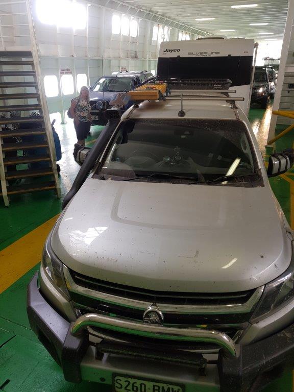
It was now just a matter of heading west trying to avoid the Melbourne traffic and we nearly achieved this except for one bit of roadwork that held us up for about 25 minutes. Once we cleared this it was onto the Mornington Peninsula to Sorrento to catch the ferry across to Queenscliff (second time in about 3 weeks). Travelling through Sorrento, we passed the foreshore camping grounds where there were caravans and tents crammed in for miles. It certainly was polar to the serenity that we enjoyed in the High Country.
 
There was only a 10 minute wait to get onto the ferry and another smooth sailing across the bay.
 
Some more driving to our final destination at the Craters and Lakes Tourist Park in Camperdown. It was still quiet warm with some dark clouds to the north with potential thunderstorms and a bit of a breeze but it was comfortable as we spent the evening outside under the awning enjoying the last night of the trip and eating what fruit and vegetables we could as there was no taking them back into South Australia due to quarantine restrictions.

The Hills are alive …

The weather was a lot better today so it was time to head to Mt Hotham. This is the first time back to here after about 25 years. Our previous visit was during winter when there was a whiteout, the lifts were all on wind hold and we couldn’t do any skiing but used a knee board at the back of the chalets which I ended up chasing down to the snow line. We have not been back to Hotham since.
 
Today there was no chance of white out with blue skies and not a cloud in the sky. As we headed north onto the dirt Dargo High Plains Road, the only traffic was the occasional logging truck coming towards us. Luckily as each one approached we were able to get off the road and find a geocache so missed most of the dust.
 
One of the stops was for the Treasures Mt Ewan Huts. These are typical high country huts built back in 1939 for the Treasure family who were famous locals back in the time.
 
Eventually we were up on Treasure Plain which was a large flat grasslands on top of the mountain range which didnt look unlike other large flat paddocks except we were at 1600 metres elevation. These plains were used since the 1800’s to graze cattle.
 
It was into Mt Hotham for lunch but there was not a great deal open today so we found a table with views and made our own. I had always heard of Dinner Plain but had never been there and since it was only 9 kilometres down the road from Hotham, why not.
 
Dinner Plain reminded me of a typical snow field village with the style of homes and chalets but there was also the Blizzard Brewing Company, Australia’s highest brewery at 1550 metres and it was open. A tasting paddle was in order with some that were good and others I could leave.
 
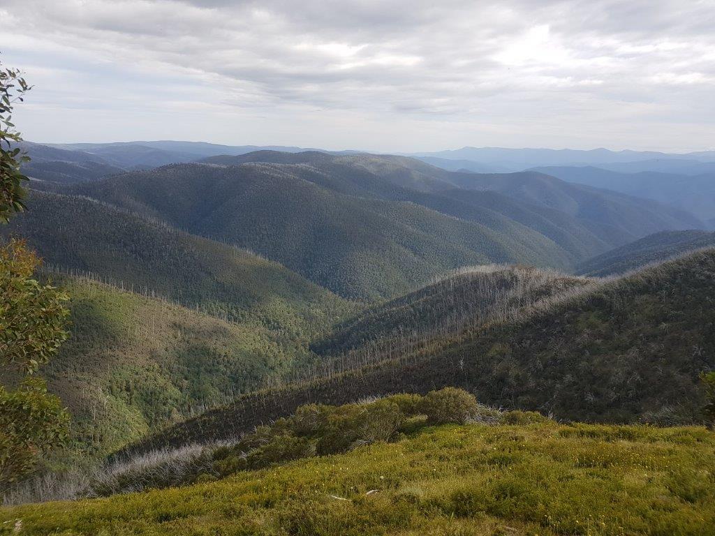
With a bit of a beer buzz going, it was time for a walk before the long drive back to camp. We decided on the Razorback walking trail but only as far as the Big Dipper. Of course there was a geocache there. There was a gentle breeze to keep us cool and views were spectacular along the ridge. You could even spot Mt McKay over at Falls Creek in the distance.
 
There was one more thing on our list for todays travels and that was to drive the iconic ridge-top track called the Blue Rag Track. This track followed the ridge line to the Blue Rag trig point with drop offs on the sides and steep, shale sections and just steep bits. The girls lasted about half way before grabbing their chairs and books to sit out while Chris and I continued to the trig point. It was probably good the girls waited behind as there were a couple a challenging sections, in particular, the last climb to the trig point. Once again the views along this drive were great.
 
What was a little worrying was some cloud starting to roll in and it was dark. We did not want to get stuck out here in the wet but luckily it held out and it remained dry for the return journey.
 
It was about 2 kilometres from the end of the dirt when finally one of my tyres gave up and it was one of the better ones on the car. Unsuccessful in plugging the hole, I needed to put back on the worst tyre to get us back to camp and hopefully to a tyre repair place.
 
Back at camp we finally had our first campfire for the trip and on the last night. Tomorrow we start the trek home.

There used to be gold in thar hills…

The weather was looking bleak so we decided to do some tracks around Dargo rather than head north to Hotham where we wanted to see the views. It was a good choice as there was heavy fog and misty rain for most of the morning.
 
The Dargo General Store provided some expensive fuel at $1.69 a litre (most expensive so far) but they did sell the Rooftop range of maps and we grabbed the Dargo Adventure map. There was also a geocache here in one of the post boxes. It turns out the store owners were geocachers and had hidden most of the caches in the area.
 
We headed north out of Dargo picking our way through the pea soup fog with no more than 50 metres visibility. This became very interesting as logging trucks came out of the fog at us, most of the time taking up the whole road.
 
We turned off the Dargo High Plains Road and into the Grant Historic Goldfields area. The fog cleared briefly at the cemetery and warmed up but as we walked in to check out the historic graves, the fog rolled in and the temperature dropped considerably – creepy. The forest has almost taken back the cemetery but you can still wander around checking out the old graves and wonder what the pioneers had to put up with.
 
Travelling further down the road and we came along the township area of Grant, well signs and photos of what it looked like during the gold rush. Every bit of the town apart from some broken glass and bits of rusting iron has gone where there used to be upward of 2000 people.
 
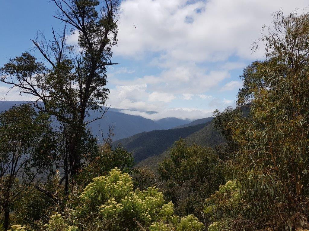
The sun stayed out as we continued our decent to Talbotville. There were spectacular views to the mountains of the High Country as well a views to the bottom of the hill straight off the side of the single lane track cut into the side of the mountain. Luckily the girls were on the inside of this track so they weren’t freaked out looking down.
 
Our descent took us 900 metres down to a big open area which used to be Talbotville but is now a campground with its own cemetery and cattle grazing amoungst the tents and caravans. Talbotville was another town that sprouted up with the gold rush but nothing but a few bricks and the cemetery remain. It made a good spot for lunch.
 
After lunch we were going to do the Basalt Spur track circling back on the Brewery Creek Road. To get there involved a couple of creek crossings then onto the track which our map said had a steep section near the start. It started out steep with a few humps and we thought it wasn’t too bad until we turned the 2nd corner and it looked like the track went straight up. Probably a little too challenging for us so we turned around and tackled the Crooked River track with its 24 creek crossings there and 24 creek crossings back. There was only a couple that came up to the running boards and a couple that had steep entries and exits but it wasn’t a bad drive out to Stonewall and back.
 
There was a choice of 2 ways back to camp. Back up McMillians Road with the girls being on the outside looking straight down off the edge or follow the Crooked River out with some more creek crossings. We chose the more sedate Crooked River option. It may have been a little longer but probably the better choice.
 
Arriving back in Dargo as it was getting dark, a meal at the Dargo Hotel sounded good as it had been a long day and no-one felt like doing any cooking. The place was full but we soon had 4 meals that you couldn’t jump over in front of us and most managed to get through them and the drinks were cold as well. It was then time to head to camp and relax by the creek before hitting the hay for the night.

Are you going to send it down Huey …

With the threat of rain today, we wanted to be packed up and out of our camp before the roads got too wet as the tracks in both directions looked like they would be slippery when wet.
 
Our packing up didn’t take too long but Chris and Sue had their camper trailer and everything that goes with that.
 
We managed to get out to the bitumen before any big drops hit the windscreen. In fact the wipers didn’t even turn on.
 
Morning tea and refuelling was at Buchan and replenishment of water in the Taj tanks was in Bairnsdale.
 
Finding a spot to park in Bairnsdale near the shops was not all that easy so we continued onto Lindenow for lunch at the local takeaway / post office.
 
With only 60 kilometres to go, we thought we had missed the rain but as we approached Dargo it not only rained hard but was accompanied by lightning hitting the hills around us and thunder.
 
Our campsite was only up the road another 6 kms on the Upper Dargo Road. There were a number of different camp areas along the road and we chose the first one we came along at Two Mile Creek.
 
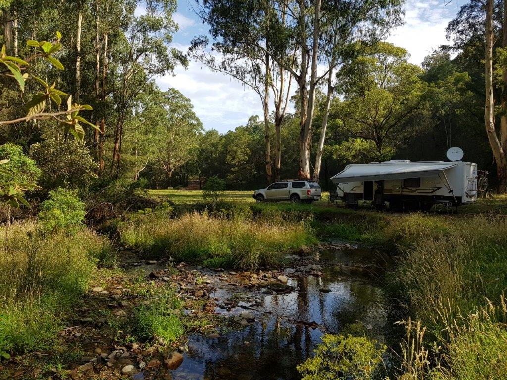
As soon as we stopped the storms stopped and the sunshine came out. We picked a great spot next to the flowing Two Mile Creek.
 
I had already had one of the front tyres scrubbing out due to the wheel alignment being out and swapped it out last night for the spare. After checking the other tyre, it is also scrubbing out on the inside. With 1000 kms to home and no spare left, I needed to move it to the rear and in order to do this it took 6 changes of tyres to achieve it.
 
By the time I had made all the moves, there was a good deal of sweat so the creek was looking very inviting. With a bucket in hand and stripped down to board shorts, I was soon refreshed with the very cool alpine water.
 
The thunderstorms had not left us alone but we managed to finish dinner before lightning started striking around us with heavy rain which lasted about 20 minutes.
 
After playing cards and watching the thunderstorms passing to the north,  it was off to bed.

One last try for the Murray …

There was one last track we could try to get to the Murray source and on Chris’s map it showed some extreme sections. We would probably not get through but we were willing to give it a try to see how far we could get. The track was called Cobberas Track.
 
It wasn’t too bad for the first 5 kilometres to Playgrounds camp area, in fact, I didn’t even engage 4WD. It was the next 5 kilometres that we started to get some steep and ledgey sections. There was some banging and scraping underneath but not too bad and we got through OK and shouldn’t have any issues getting back. We then came to a show stopper slope down into the Suggan Buggan River valley. If we got down, and there were some pretty big ledges, we were not going to get back up. Remember we have to still get back to South Australia pulling a caravan and camper trailer. This was definitely the extreme section shown on the map.
 
We returned to the top of the mountain for lunch where there was service on the phones with all 3 carriers, very unusual for Vodafone out here.
 
After lunch we returned back out to Limestone Black Mountain Road with still plenty of daylight. Suggan Buggan sounds interesting so off we went to check it out. Suggan Buggan is on the Snowy River Road that heads through to Jindabyn. We had thought about coming in that way from New South Wales. As it turns out, it is good we didn’t. The Road wasn’t too bad at first with gentle turns in rolling hills but then going around a corner we found ourselves on one of those “worlds worst roads”. It dropped back to just wider than a single lane, cutting into the mountain side with no barriers on the downward side with straight drop down. One of those white knuckle roads with an overtaking area every third bend. Luckily the only car coming in the opposite direction was at one of those overtaking areas.
 
Sue did not travel too well with Jenny having to massage her fingers off the Jesus Bar. They had clamped shut and were not coming off on their own.
 
There wasn’t much to Suggan Buggan with an old timber schoolhouse and flowing river complete with local kids swimming. It was in the high 30’s. There is not much else there.  We spent a little time here so that Sue’s fingers could recover, after-all we had to go out the same way we came in.
 
Once again on the return journey there was no traffic encountered and I think both girls kept their eyes closed as the drop off was on their side of the car.
 
It would appear that the road we would be coming out in the morning was due to be graded with 2 graders and 2 water trucks staged at a couple of locations. It might make it easier or harder in the morning depending on their progress.
Back at camp, it was time for some calming beverages and some more cricket. It seems there is a Big Bash League match every night we are away.
 
The brumbies must have felt a bit more at ease with us as they ventured towards camp before it got dark and got within 40 metres of the van. I had seen them around 3am just at the back of the van but they moved on as soon as there was I got close. At least it gave an opportunity to get some photos.

Where is that pesky Murray …

Looking at the map, there were a few options to get to the source of the Murray. The first option was just up the road on a track called Cowombat Flat Track. We followed it in and proceeded on a pretty good track for about 4 kilometres but came across a locked gate with no way round. With a 9 kilometre walk in and another 9 kilometres out and the temperature already in the low 30’s we decided to find a different track.
 
Continuing further west was the Limestone Creek Track with signs showing no trailers and Chris’s map showing some extreme spots. Despite this we went in to see how far we could get. The first bit was steep with some bumpy bits but it improved passing the Limestone Creek camp area which we would come back to for lunch later. There were some more steep sections with the grader ledges to stop erosion but we managed to get in about 9 kilometres before finding the extreme spot. It was steep, there were drop offs and I am sure we would have got down with some banging and scraping but getting back up would have been very difficult particularly as we didnt have a winch between us. This was a good spot to turn back to the Limestone Creek camp area. There was one creek crossing we drove through which showed as Stony Creek on most of the maps but on one map it showed as the Murray River so I guess that is as close as we are going to get to it. Even though it is not the actual Murray, it does feed into it in another 4 kilometres.
 
Back at Limestone Creek, we found a nice spot next to the creek in the shade with a gentle breeze. All the bumping and banging had taken its toll on Chris and Sues car. We needed to do some bush mechanics on the driver side rear leaf springs but more importantly, almost a whole carton of cider bottles managed to loosen their lids and fill the ice water in the esky with cider.
 
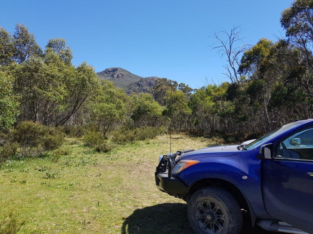
From the campsite we could spot a rocky outcrop called the Rams Horn. Our last track for the day was a short 5 kilometre return journey on the Rams Horn Track. The track wasn’t too bad with some rocky sections and skinny bits but you could almost do it with a normal car.
 
We drove until we found a large outcrop with Chris and I making the climb through some bitey bush only to find that the Rams Horn was further on. Back to the cars and continuing on the track we found a carpark at the end and path leading to the top of the Rams Horn. A lot easier than what we had just pushed through. The view were breathtaking and with phone coverage, I was also able to renew the Satellite TV certificate. That should keep the cricket tragics happy.
 
It was back to camp for a night of cards and cricket with the occasional noise from the brumbies in the bush.

High Country here we come …

It was already starting to warm up as we left Wangaratta and headed further north to Albury. We needed to make a quick stop to pick up groceries and other needs that had been forgotten in the initial stocking of our vehicles. You would think it would be a quick stop and shop but we didn’t count on the main shopping area in Albury being in the middle of town and nowhere to park a couple of vehicles towing a caravan and a camper trailer. We dropped off the girls and then circulated around town until they had finished shopping, then it was time to head east into the mountains.
 
The views were spectacular as we headed up the Murray Valley but it was slow going with a lot of curves and hills, so it looked like it would be be another long day but at least the scenery was good.
 
We had hoped to get to the Blue Duck Inn at Anglers Rest for lunch but unfortunately didn’t get there until 3pm and the kitchen shut down at 2pm. Across the road from the pub was a shady grassed area on the Cobungra River so we made our own lunch before moving on to Omeo.
 
If we thought it was a windy road so far, there was a lot more curves and hills in store for us through to Omeo which slowed our progress even more. Needless to say, the fuel consumption was definitely up so we needed to refuel at Omeo before moving on.
 
This is the first time I had been to Omeo after many years of going to Falls Creek during the winter for skiing and always seeing the road to Omeo closed. I guess people use this as a base for skiing the Mt Hotham area with the road kept open to those ski fields in the winter. Even though it was the middle of summer, fuel prices seemed to be ski field prices.
 
From Omeo we continued northeast to Benambra. There was a bit of a crowd at the pub in Benambra where we turned off onto Limestone Road. Apparently there was a lot pointing at my large caravan as we headed onto the road. Not sure what we were heading into. Our map was saying dirt road but we were still on bitumen so it seemed to be OK. Eventually the road turned to dirt and there was a few steep and skinny sections but the Colorado had no problems pulling the Taj through them.
 
We finally arrived at our campsite at Native Dog Flat to find a large open area with shady trees and almost bowling green grass. There were only two other campers in the area so it looked pretty good. We found a secluded area to set up but it wasn’t adjoining the Buchan River as those spots had been taken but it was still good.
 
There was evidence of wild brumbies in the area with piles of “offerings” through the camp and some associated flies but they soon disappeared after sunset. Not long after the sun had gone down we heard the brumbies coming in but they were not that tame so did not get close to us. Hopefully we will get some photos before we leave.
 
I tried the satellite dish to see if we could get some Big Bash League cricket as there were a couple of cricket tragics (not me) but I had forgot to renew our travellers certificate so it was card night tonight and if I get some phone coverage tomorrow will renew the certificate if I remember.

Murray where do you start …

After being home for only 2 weeks it was time for another travel adventure and this time Jenny was coming along. The plan was to follow the River Murray to its source if it was even possible. We were travelling with our friends Chris and Sue. They had their camper trailer in tow and we had our Taj.
 
Today was to be a big travel day so that more time was spent looking for the source rather than spend too much time getting there.
 
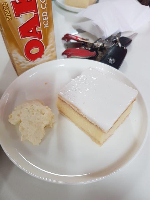
The small convoy left Crafers just after 8am stopping only for fuel until Ouyen for lunch and of course their famous Vanilla Slice.
 
We were looking at getting at least to Wangaratta and evaluate whether to continue further when we got there. Well after 11 hours on the road, we only got as far as the Big4 Wangaratta North Cedars Holiday Park. It was still around 32C so a short walk out the back gate was the Vine Hotel. And as luck would have it, it was steak night. For $16.90 they had a steak with chips, veg and a choice of sauce. It was a good meal particularly after the long drive and washed down with a cold “Furphy” beer.
 
Tomorrow shouldn’t be as long a drive into the High Country.