Category Archives: Geocaching
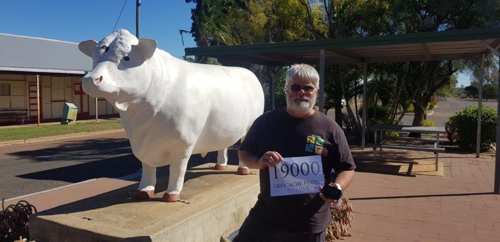
Another Geocaching Milestone – 19000 finds …
Mingle at Mindil again …
Gee it is busy in the Alice …
Finally the Painted Desert …
Warm weather – here I come …
Looks like there is a Rally in town …
Done with working for 2 months …
Heading west towards home …
Today was a big travel day with 550kms from Orbost through to Bendigo. It wouldn’t be too bad except that there was only one route to get there and that involved skirting through Melbourne and its traffic.
The Princes Highway was good doing until I hit Narre Warren and the traffic started to build up and slow down. Roadworks didn’t help much. It took a while to get round to the Metropolitan Ring Road and just as I reached the Calder Highway exit the traffic stopped. It was OK though as I was headed to the Calder Highway.
It was certainly different when travelling through Morwell. Last time I was here you couldn’t see for smoke. I was here fighting the coal mine fire in February 2014 – it doesn’t seem that long ago. The fire went for a month and cost somewhere around $1 million a day to fight, with helicopters, ground crews and lots of different fire appliances from all around Australia. Today, the power station is closed and the only activity in the pit seemed to be remediation work. Oh and the air was clear.
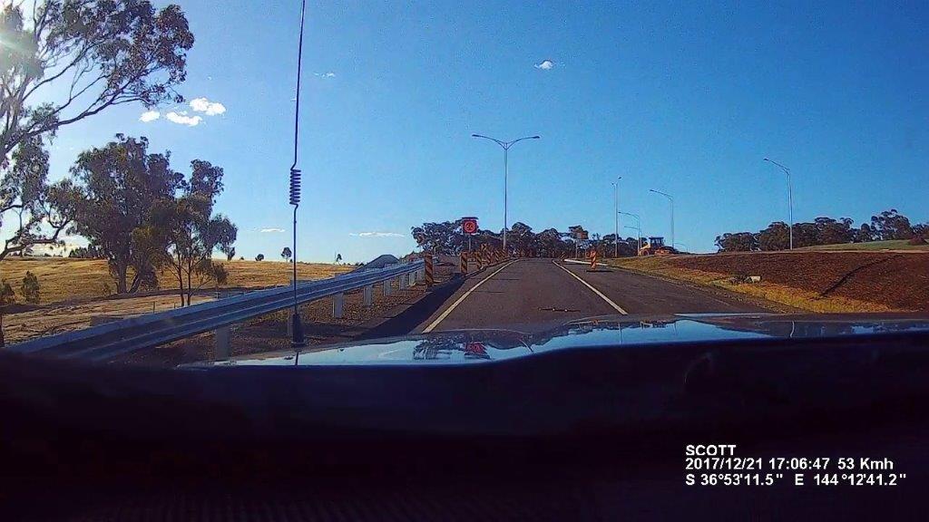
There was one little “oh wow” moment when I took the Alternative Calder Highway exit and what looked to be a stick in the middle of the road was a 1.5m snake. I tried to miss it and didn’t see it come out the back. Hopefully he is not coiled up somewhere under the car or van.
Onward to Mildura tomorrow.
Can’t go any further East …
Well the rain did make it here with some heavy downpours through the night and continuing through the morning. This rain didn’t slow me up much as I had a drive through the forest to the north to grab a cache.
It was a 45km drive on windy, hilly, thick forested road for a single cache that gave me a geocache find on Map 23 for the Victoria Country Road Atlas Challenge. It rained all the way there, rained while I was signing the log in the geocache and it rained all the way back.
After doing some restocking and having lunch, it was time to head east to grab the last 2 maps for the Victoria Country Road Atlas Challenge, Map 24 and 34. This would also take me to Mallacoota which is the furthest east you can get in Victoria without serious bushwalking. The rain had moved on, I guess onto New Zealand.
Mallacoota must have one of the biggest foreshore caravan parks in Australia. It seemed to go on forever and was starting to fill up. It has somewhere around 600 sites with around half with power. Although the sites looked small in places – hopefully they were tent sites.
After grabbing a few caches at the beach lookouts along the coast, it was time to head back to the van at Orbost. It was a straight drive back as I had grabbed all the caches on the way here. Just out of Cann River, there was a slight delay with a learner motorcyclist not making it around a corner. Luckily he was wearing full leathers and seemed to be moving OK. The ambulance didn’t seem to be in a hurry to get to him when it passed me.
The rain started again when I arrived back at Orbost but it was just showers that came and went.
Tomorrow it is time for the journey home via Bendigo.

