The weather was a lot better today so it was time to head to Mt Hotham. This is the first time back to here after about 25 years. Our previous visit was during winter when there was a whiteout, the lifts were all on wind hold and we couldn’t do any skiing but used a knee board at the back of the chalets which I ended up chasing down to the snow line. We have not been back to Hotham since.
Today there was no chance of white out with blue skies and not a cloud in the sky. As we headed north onto the dirt Dargo High Plains Road, the only traffic was the occasional logging truck coming towards us. Luckily as each one approached we were able to get off the road and find a geocache so missed most of the dust.
One of the stops was for the Treasures Mt Ewan Huts. These are typical high country huts built back in 1939 for the Treasure family who were famous locals back in the time.
Eventually we were up on Treasure Plain which was a large flat grasslands on top of the mountain range which didnt look unlike other large flat paddocks except we were at 1600 metres elevation. These plains were used since the 1800’s to graze cattle.
It was into Mt Hotham for lunch but there was not a great deal open today so we found a table with views and made our own. I had always heard of Dinner Plain but had never been there and since it was only 9 kilometres down the road from Hotham, why not.
Dinner Plain reminded me of a typical snow field village with the style of homes and chalets but there was also the Blizzard Brewing Company, Australia’s highest brewery at 1550 metres and it was open. A tasting paddle was in order with some that were good and others I could leave.
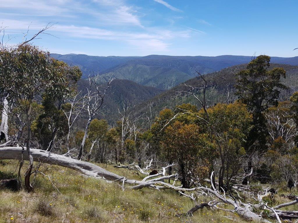
With a bit of a beer buzz going, it was time for a walk before the long drive back to camp. We decided on the Razorback walking trail but only as far as the Big Dipper. Of course there was a geocache there. There was a gentle breeze to keep us cool and views were spectacular along the ridge. You could even spot Mt McKay over at Falls Creek in the distance.
There was one more thing on our list for todays travels and that was to drive the iconic ridge-top track called the Blue Rag Track. This track followed the ridge line to the Blue Rag trig point with drop offs on the sides and steep, shale sections and just steep bits. The girls lasted about half way before grabbing their chairs and books to sit out while Chris and I continued to the trig point. It was probably good the girls waited behind as there were a couple a challenging sections, in particular, the last climb to the trig point. Once again the views along this drive were great.
What was a little worrying was some cloud starting to roll in and it was dark. We did not want to get stuck out here in the wet but luckily it held out and it remained dry for the return journey.
It was about 2 kilometres from the end of the dirt when finally one of my tyres gave up and it was one of the better ones on the car. Unsuccessful in plugging the hole, I needed to put back on the worst tyre to get us back to camp and hopefully to a tyre repair place.
Back at camp we finally had our first campfire for the trip and on the last night. Tomorrow we start the trek home.


